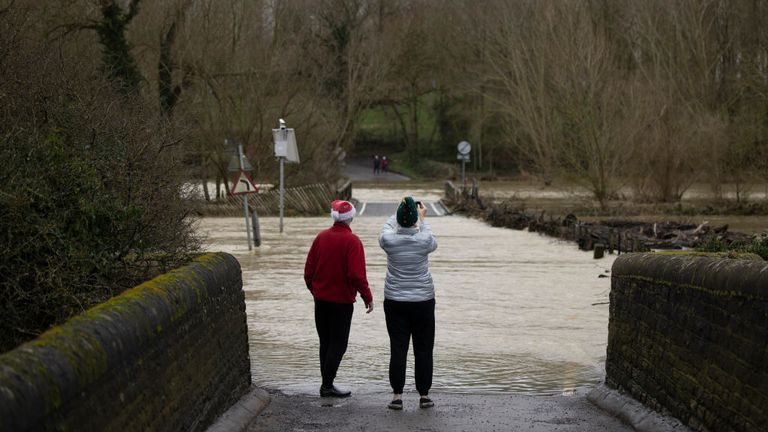
Snow and ice warnings are in place for much of the UK heading into the bank holiday, including as far south as London, as vast swathes of the country are braced for a cold snap in the aftermath of Storm Bella.
It comes as around 100 flood warnings remain in force in England, along with 190 less serious flood alerts.
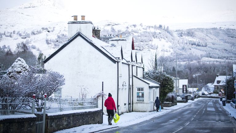
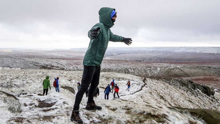
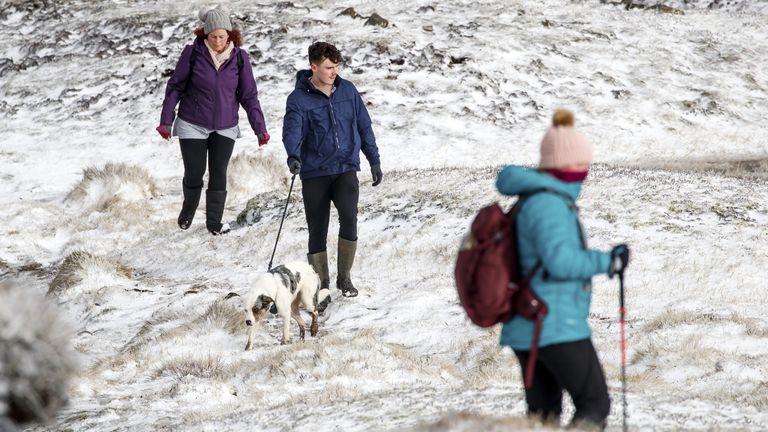
Snow had already fallen in parts of Scotland, Northern Ireland and England, including in the Peak District in Derbyshire, by Sunday afternoon.
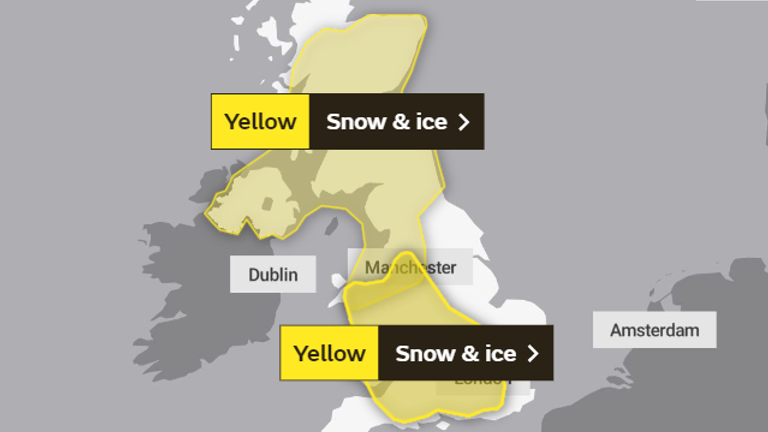
The Met Office has issued a yellow “be aware” warning until 10am on Monday for more snow and ice across most of Scotland, Northern Ireland and large parts of northern England and North Wales.
And there is a second such warning for snow and ice on Monday until 6pm across all of Wales and some of the remaining parts of England from the Midlands, down towards the south coast.
Up to 5-10cm of snow is possible in some areas of higher ground.
The forecasters’ advice warns of the potential for injuries from icy surfaces and delays to trains and road transport.
The first warning said: “A band of rain, sleet and snow followed by wintry showers will move south across western and central parts of Scotland and Northern Ireland on Sunday evening and then into parts of northern England and north Wales early on Monday morning.
“Localised accumulations of 1-3 cm are possible to lower levels but higher accumulations are likely over higher ground. Above 250 metres, accumulations of 5-10cm are possible.
“Skies are expected to clear from the north overnight and widespread ice is likely to develop and persist through to Monday morning, especially across central and eastern areas.”
The second warning said: “An area of rain is likely to move south through Sunday night and Monday across parts of England and Wales. There is the potential for this to turn to snow for a time.
“There is a lot of uncertainty in where snow develops with some areas seeing little or no accumulations.
“However, there is a very low likelihood of 1-3cm, and locally 5-10cm falling in a few places, particularly over higher ground of Wales above 200 metres. As well as snow, widespread ice may also be an issue, especially where treatment has been washed off road surfaces.”
The chilly temperatures follow several days of extreme weather over the Christmas period, which saw severe flooding in parts of southern England before Storm Bella arrived on Boxing Day, with winds of more than 100mph.
The top wind speed was recorded at the Needles on the Isle of Wight, where it reached 106mph overnight on Saturday.
Aberdaron in northwest Wales had gusts of 83mph, and areas on the south coast of England – including Dorset – got close to 80mph.
Sky News weather presenter Steff Gaulter said: “The showers will continue across Ireland and western Britain on Monday, pushing across the south of England as well.
“Some places will see snow and everywhere will feel cold, particularly in the brisk winds in the west.
“Eastern areas will see the best of the sunshine, but even here a few showers are likely to graze the coast at times.”
Further into the week and towards the New Year, the Met Office says conditions will remain cold with sunshine and the possibility of wintry showers.
As of 8pm on Sunday, around 100 flood warnings remained in place across England calling for immediate action as flooding was expected, alongside almost 200 flood alerts.
There were also several flood warnings and alerts in Wales.
At 12.37am on Sunday, North Yorkshire Fire and Rescue Service used a boat to rescue two men and two dogs from a vehicle stuck in flowing floodwater in Hawes.
In Aysgarth, a man and woman were also rescued by boat from the roof of their car at 2.40am after they drove into deep floodwater.
Parts of Bedfordshire and Northamptonshire have also been badly affected, with some people forced to evacuate their homes due to the floods.

